

Paul attempted the "John Challenge" a week or so later and judging by his text messages when he reached the top of Beacon Hill thoroughly "enjoyed" it, especially the accumulation of blisters on his feet.
The Towis2 of Carl and Tony then decided to attempt CheckPoint 2 (Cocking Hill) to CheckPoint 4 (somewhere near Amberley!) - the plan being see how far we could get in around 4 hours and then turn around. We'd then attempt the same route a week later to see how much we'd improved.
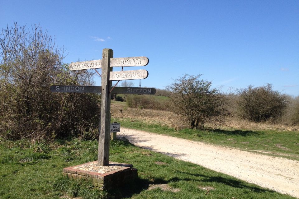
After getting a bit lost by the directions as we descended toward CheckPoint 3 - the corn field mentioned doesn't seem to contain corn anymore and determining arable land from woodland in places seemed difficult. But we made it to the CheckPoint in a reasonable time of two hours, and headed on. Up another slope.

After ascending for a while you enter the Slindon estate - there was a bench there just right for eating lunch (once we scared the current occupants off).
The Slindon estate takes you round the edge of a hill with fantastic views down to Chichester, Arundel and a square brick tower we still haven't worked out what or where it is. After passing through a car park for a nearby Roman Villa - the path then takes a long slope up before becoming very "up and downey". After reaching the top of steep downward slope we realised we'd been heading out for 4 hours and decided to turn round, probably 3 miles or so from the next CheckPoint - but we were shattered and didn't fancy having to come back up the slope!

We actually then made it back to CheckPoint 2 in 3 hours - so quicker than the outbound journey (even taking lunch break into account).
A week later, the Towis 2 became the Towis 3 with Paul joining us as we attempted the same route. The weather couldn't have started more different with low clouds effecting the view and some light rain continuing from the night before. As we walked on the weather cleared to a more comfortable temperature but some of the surface underfoot was slippy on some of the hills. We made pretty much the same time to Check Point 3, 2 hours, then moved on.
This time we reached the point we had the week before and carried on ... at this point the track did become very steep and winding down hill, not helped by the wet surface, before turning into a gentle, long slope up hill around the edge of some woods.
As we headed up this slope we could hear loud music pulsating from the trees and expected, as we turned round a corner, to see a huge party in progress. All we saw was four or five cars/vans parked in a field with the music deeply imbedded in the trees. And as we walked on a Police Helicopter appeared and started circling the music.
We reached the A29, which is basically at the top of the final slope into CheckPoint 4, and sat and ate lunch - whilst being hovered over (twice) by the Police Helicopter who were obviously very suspicious of the chicken drumsticks Tony was handing round. We obviously looked like potential rave goers - or maybe they were deciding whether to call for an air ambulance for us or not.
After lunch we decided against the walk down to the check point ("we'll only have to walk back up the hill") and headed back, helpfully guiding some OAP walkers towards the rave in the woods.
We finished satisified that we'd walked nearly 4 miles further than last time, and for nearly 8 hours, so a good step up in training.
Date: 1 Apr 2012 9:16 am
Distance: 16.2 miles
Elapsed Time: 6:34:10
Avg. Speed: 2.5 mph
Max. Speed: 3.7 mph
Avg. Pace: 24' 16" per mile
Date: 8 Apr 2012 8:59 am
Distance: 19.9 miles
Elapsed Time: 7:57:15
Avg. Speed: 2.5 mph
Max. Speed: 5.5 mph
Avg. Pace: 23' 59" per mile